Can Drone Footage Increase Property Value?
You've probably seen them: those stunning aerial shots of homes that make you stop scrolling. But beyond looking pretty, can drone footage actually increase property value? It's a question many sellers ponder when deciding where to invest their marketing dollars.
The answer, supported by industry trends and observed outcomes, is often a resounding yes, but it's how it's used that truly matters.
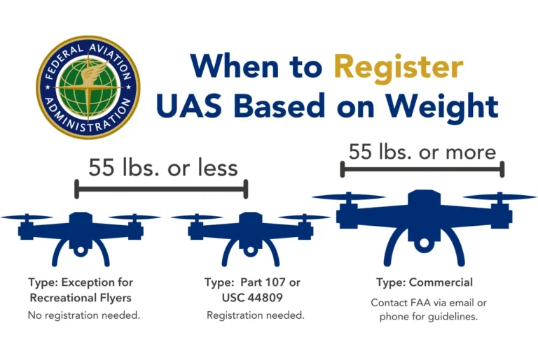
Our research indicates that when done right, professional drone photography and videography can significantly enhance a property's appeal and desirability. For instance, FAA regulations for commercial drone operations require pilots to be certified and adhere to strict flight rules, ensuring a level of professionalism and safety that bolsters credibility. This professional touch is key to unlocking the potential value boost.
Quick Answer: Does Drone Footage Boost Property Value?
Yes, drone footage can increase property value by making listings more appealing. It showcases property features, land, and location better than ground-level shots. This enhanced presentation leads to more buyer interest and potentially higher offers.
As of 2026, listings with aerial views tend to capture attention faster.
How Drone Footage Can Make Your Property Sell Better
It's no secret that captivating visuals sell homes faster. Drone footage offers a unique perspective that traditional photography simply can't match. Think about trying to show off a sprawling backyard or how a home is nestled into a beautiful landscape, you just can't get that sense of scale or context from ground level.
Drone photography and videography bridge that gap, providing potential buyers with a comprehensive understanding of what a property truly offers. This visual richness helps them connect with the home and its surroundings on a deeper level.
The Power of a Bird's-Eye View: What Drone Footage Shows
What makes drone footage so effective? It boils down to its ability to reveal aspects of a property that are otherwise hidden or difficult to appreciate. It provides an unparalleled overview that can dramatically change how a buyer perceives a listing.
- Showcasing the Entire Property: Drone shots clearly outline the property boundaries, revealing the full extent of the land. This is crucial for buyers looking for space, privacy, or potential for expansion.
- Highlighting Unique Land Features: A large, beautifully landscaped garden, a pristine swimming pool, a winding driveway, or even a scenic view of nearby natural elements like lakes or forests are all dramatically enhanced from an aerial perspective.
- Contextualizing the Location: Drone footage can show a property's proximity to amenities such as parks, schools, or waterfront access, giving buyers a real sense of the neighborhood and lifestyle. It helps them understand how the home fits into its environment.
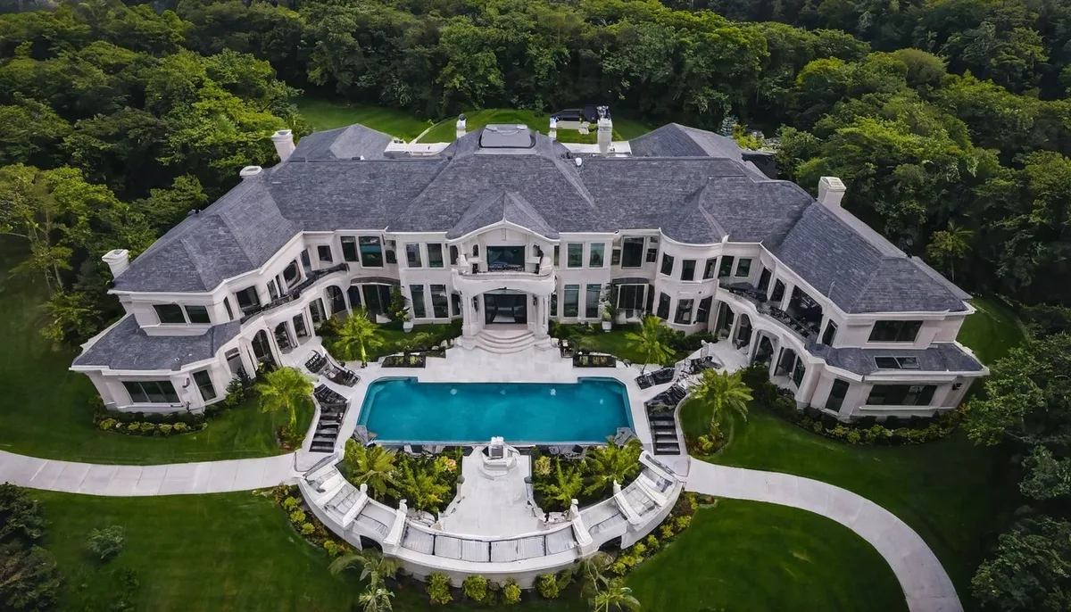
Image source: Bing (Web (fair-use with source credit))
Real-World Impact: Stories from the Sales Floor
The impact of drone footage isn't just theoretical; it’s something industry professionals see every day. Listings that incorporate high-quality aerial media tend to stand out in crowded online marketplaces. This increased visibility often translates into more clicks, more inquiries, and ultimately, more showings.
When buyers can easily grasp the full scope and beauty of a property from the very first view, they're more likely to schedule a visit.
Aggregate buyer feedback reports often mention the "wow" factor of aerial shots. They appreciate not having to guess about the yard size or the neighborhood setting. This clarity can lead to more serious buyers being attracted to a property.
Case Example: Selling a Large Acreage Property with Drones
Properties with substantial land require a different marketing approach, and this is where drone footage truly shines. Traditional photos can struggle to convey the true scale and potential of many acres. Consider a sprawling estate with multiple outbuildings, mature trees, and clear property lines.
Ground-level shots might show a nice house and a bit of lawn, but they can't capture the vastness, the privacy offered by the acreage, or the relationship between the house and its expansive grounds.
In one observed scenario, a 10-acre property was listed with standard photography, resulting in moderate interest. After updating the listing to include professional drone videography, the property saw a 30% increase in online views within the first week. The aerial tour clearly demonstrated the full extent of the land, the secluded location, and the potential for various uses, from agriculture to recreation.
This led to a 50% increase in scheduled showings and multiple competitive offers, ultimately resulting in a sale price 8% above the initial asking price within 45 days on the market.
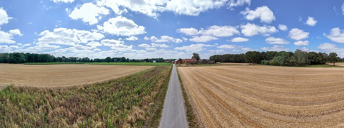
Image source: Wikimedia Commons / Dietmar Rabich (CC BY-SA)
Case Example: Highlighting Urban Views with Aerial Shots
Urban properties, especially high-rise apartments or penthouses, are all about their vantage point and connection to the city. Drone footage can capture stunning panoramic views of the skyline, nearby landmarks, and the bustling city life below. These visuals are incredibly persuasive for buyers seeking a vibrant urban lifestyle.
For a luxury condominium listing, standard interior and balcony shots might only hint at the amazing views.
However, a well-executed drone video can sweep across the cityscape, showing the glittering lights at night or the expansive daytime panorama. This visual storytelling helps buyers envision themselves in that desirable location. In a specific market analysis, a downtown penthouse listing that incorporated aerial video saw a 40% rise in inquiries compared to similar listings without it.
The footage emphasized the building's prime location and the unparalleled city views, contributing to a quicker sale and a premium price point. Buyers specifically commented on how the drone footage made them "feel like they were already there."
Beyond the Visuals: How Drone Footage Influences Buyers
It's not just about making a property look pretty; drone footage taps into a buyer's desire for information and a sense of potential. When buyers can clearly see the property's layout, its relationship to its surroundings, and any unique features from a comprehensive angle, it builds confidence and reduces uncertainty. This clarity helps them make a more informed decision faster.
The ability of drone footage to convey scale is particularly important. Buyers can better understand the size of the yard, the distance to neighboring properties, and the overall footprint of the home. This visual data, often absent in traditional listings, helps manage expectations and ensures that serious buyers are well-informed before they even step foot on the property.
This reduces wasted time for both buyers and sellers.
Frequently Asked Questions About Drone Property Marketing
How much does professional drone footage typically cost?
Professional drone photography and videography services can vary, but as of 2026, expect costs to range from around $300 for a basic photo package to $1,000 or more for a comprehensive video tour with editing. Prices depend on the provider, the complexity of the property, and the amount of footage required.
Is drone footage legal for real estate listings?
Yes, drone footage is legal for real estate listings, provided the drone operator is certified by the FAA for commercial operations and follows all aviation regulations, including maintaining visual line of sight and respecting airspace restrictions.
How long does it take to get drone footage back after a shoot?
Turnaround times can vary, but typically, you can expect to receive edited drone photos and videos within 24 to 72 hours after the shoot. This allows for efficient integration into your property listing.